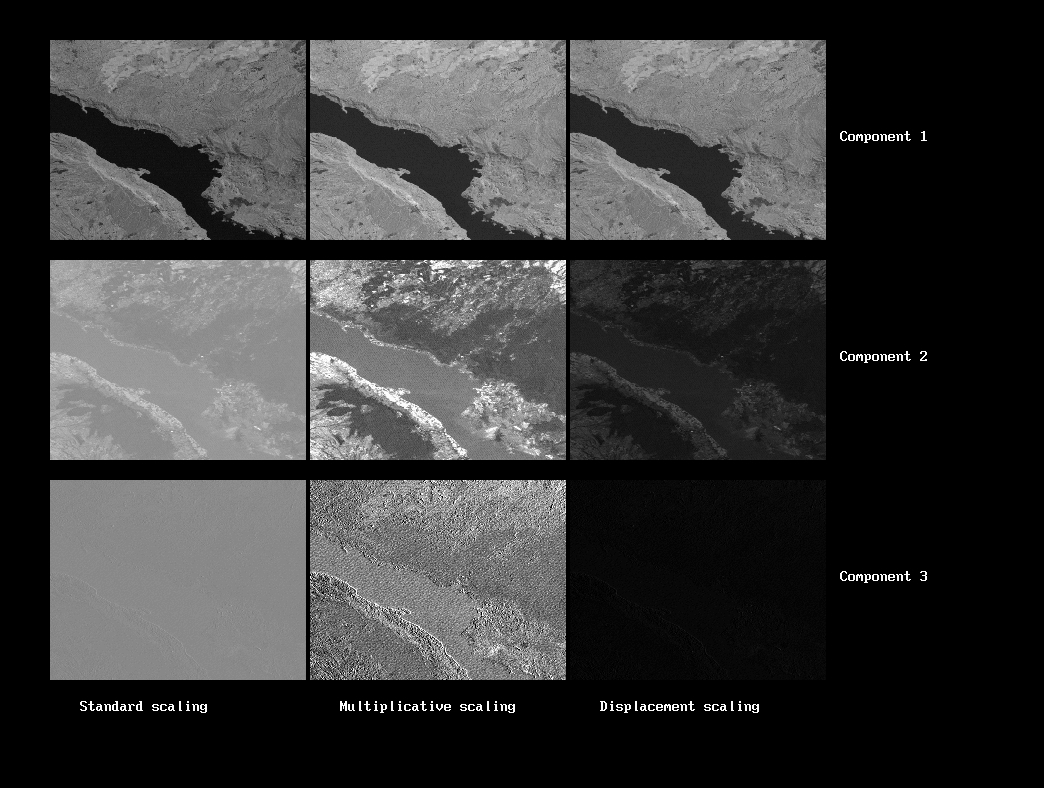
More advanced operations include Principal Components Analysis (shown here) and Registering an image to a geospatial reference.

| <== | ==> |
|---|
More advanced operations include Principal Components Analysis (shown here) and Registering an image to a geospatial reference. |
 |
|---|